
LANDSLIP RISK ASSESSMENT
Landslip Risk Assessment for sloping properties across Victoria
Geotechnical reports and declarations for proposed development on sloping land, including land affected by an Erosion Management Overlay.
Request a quoteWHEN IT MAY BE REQUIRED
When are a geotechnical report and declaration required?
Landslip risk assessment is also known as landslide risk assessment. An Erosion Management Overlay (EMO) identifies land where erosion or landslide risk must be considered as part of planning and development. Where an Erosion Management Overlay affects proposed works, the applicable schedule, permit trigger, exemptions and Council requirements determine whether a geotechnical report and declaration are required. The geotechnical report assesses the site and proposed works and identifies any engineering measures required to reduce the assessed risk to property and the risk of loss of life to tolerable levels.
We first undertake a preliminary desktop review of the proposed works, available site information, relevant planning controls and applicable council requirements. Based on this review, we determine the fieldwork, assessment and reporting scope required for the project and set it out in our quotation.
Erosion Management Overlay or council request
Where an Erosion Management Overlay affects proposed works, the applicable schedule, permit trigger, exemptions and Council requirements determine whether a geotechnical report and declaration are required. Council may also request geotechnical information through a request for further information.
Development on sloping land
New dwellings, extensions, sheds, retaining walls, pools and earthworks may alter ground levels, loading or drainage. The geotechnical report considers how the proposed works may influence slope stability or be affected by existing slope conditions.
Existing slope concerns
Cracking, ground movement, leaning structures, erosion, seepage or persistent drainage problems may warrant geotechnical review. These signs can have several causes and do not, on their own, confirm landslide activity.
ASSESSMENT SCOPE
What the geotechnical report addresses
The geotechnical report and supporting declaration address the geotechnical and landslip risk assessment requirements applicable to the proposed development. The report addresses:
REPORT AND DECLARATION
Geotechnical report and declaration
Yarra Geotechnics prepares a project-specific geotechnical report and supporting geotechnical declaration for the proposed development, together with any applicable council form.
For a proposed dwelling, the geotechnical report includes the site classification in accordance with AS 2870 (Residential slabs and footings) and foundation recommendations, so an additional soil report is not required.
TECHNICAL BASIS
The geotechnical report and declaration are prepared in accordance with applicable planning requirements, with landslide risk assessed using the Australian Geomechanics Society Practice Note Guidelines for Landslide Risk Management 2007 (AGS 2007).
QUALIFIED PRACTITIONERS
Yarra Geotechnics’ geotechnical reports and declarations are prepared and signed by appropriately qualified geotechnical engineers, including Chartered Professional Engineers (CPEng) and Registered Professional Engineers of Victoria (RPEV), with extensive local experience in slope stability and landslide risk management.
VICTORIAN EXPERIENCE
Yarra Geotechnics has extensive experience preparing geotechnical reports, declarations and landslip risk assessments for numerous sloping properties across the Yarra Ranges, Mornington Peninsula and other parts of Victoria. Our work covers dwellings, extensions, sheds, pools, retaining walls, subdivisions and earthworks on land affected by Erosion Management Overlays and in varied geological and slope conditions.
PROCESS
How to get started
Send the available information
Provide the property address, available plans and any council correspondence or previous geotechnical reports.
We review and quote
We review the information and provide a project-specific quotation setting out the proposed scope, fee and deliverables.
We complete the proposed scope
Once engaged, we complete the proposed scope set out in the quotation.
We issue the report and declaration
We issue the geotechnical report, supporting declaration and any applicable council forms included in the quotation.
PROJECT GALLERY
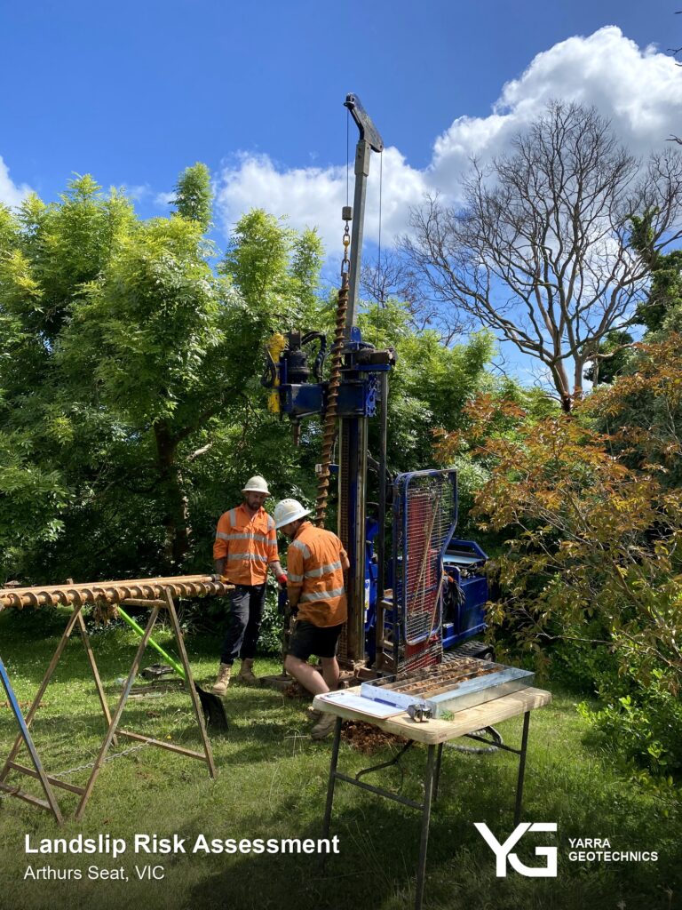
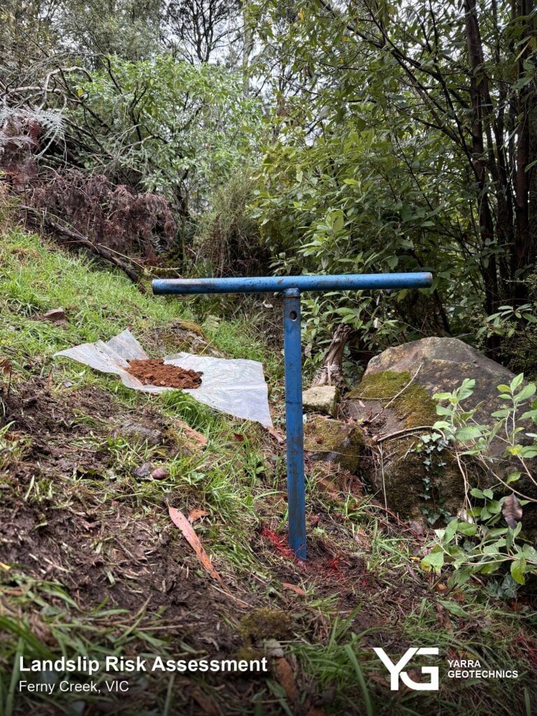
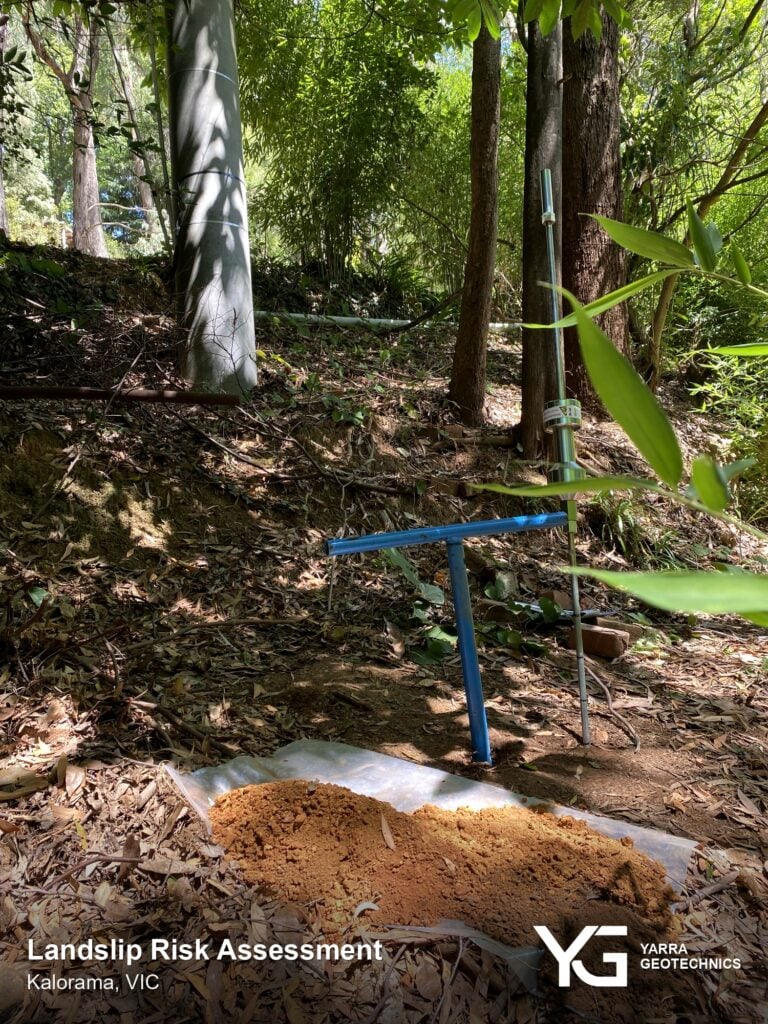
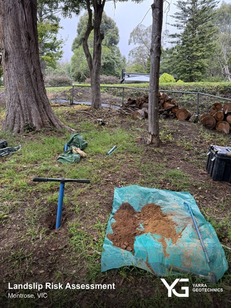
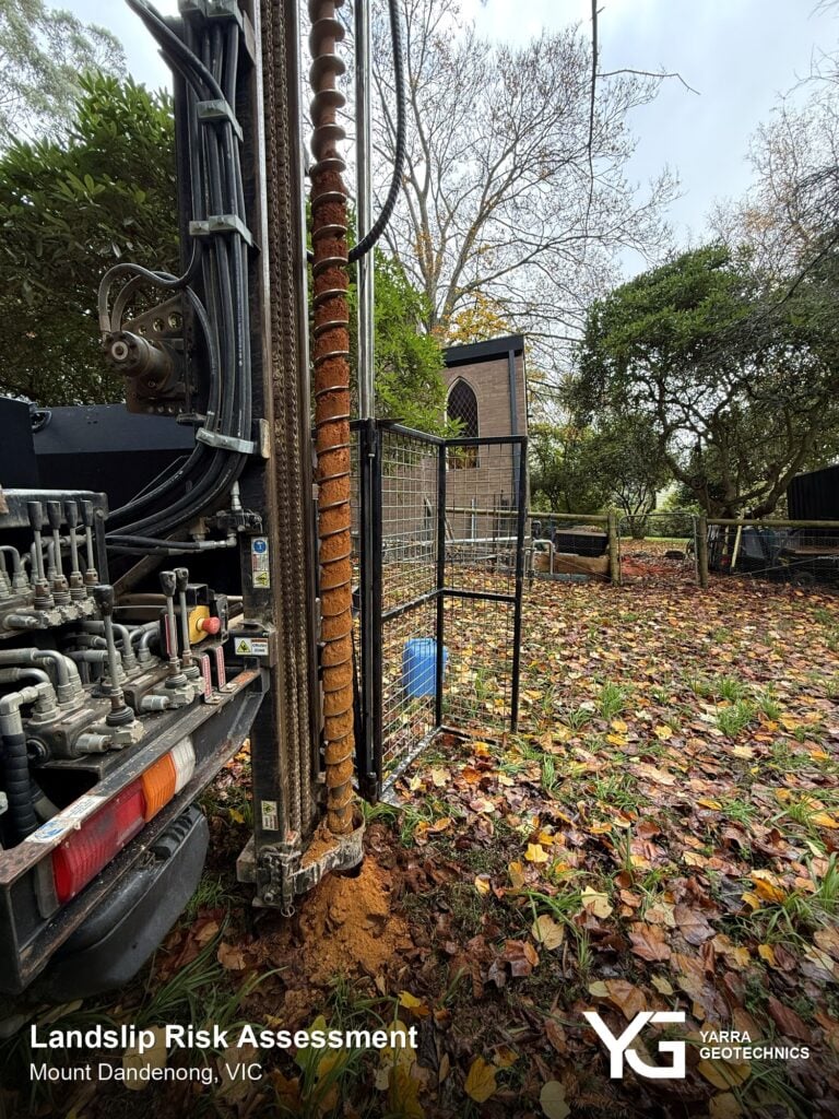
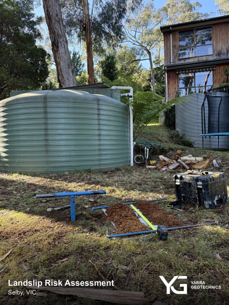
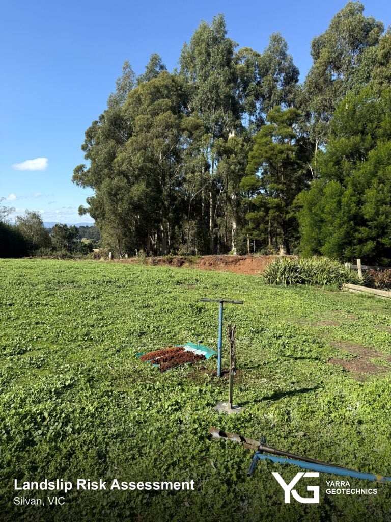
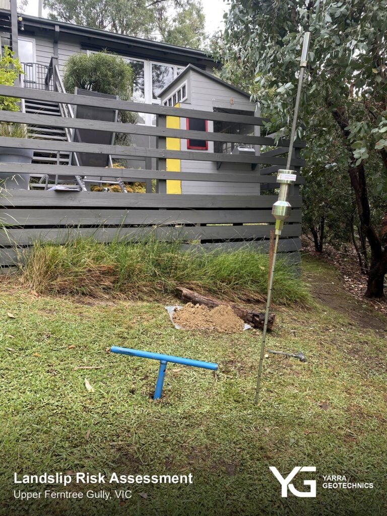
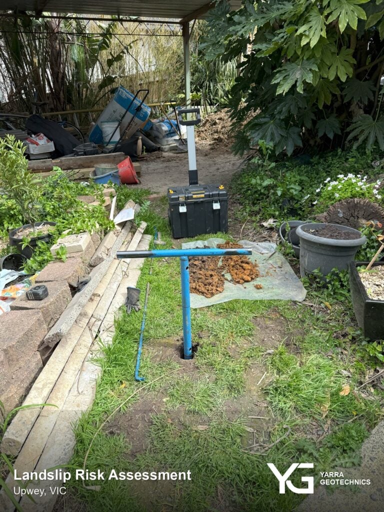
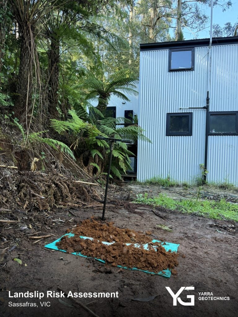
Landslip Risk Assessment fieldwork across Victoria
Selected fieldwork from sloping properties across the Yarra Ranges, Mornington Peninsula and other parts of Victoria.
Need a Landslip Risk Assessment – or unsure what your council requires?
Send the property address, available plans and any council correspondence so we can prepare a project-specific quotation.
Council LRA guides
We provide landslip risk assessments across all Victorian council areas where Erosion Management Overlays (EMOs) apply.