
Point Cook Road–Central Avenue Intersection Upgrade
A clear ground record for a busy road corridor
- Sector
- Transport & roads
- Location
- Altona Meadows, Victoria
- Engagement
- BMD Constructions
- Report scope
- Factual geotechnical investigation report
THE PROJECT
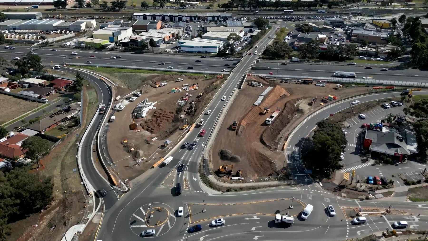
The Point Cook Road–Central Avenue intersection connects local communities with the Princes Freeway in Melbourne’s west. The upgrade includes traffic signals, additional lanes and a new freeway ramp, together with improvements for pedestrians and local access. Yarra Geotechnics was commissioned by BMD Constructions to provide a factual geotechnical investigation for the project.
The challenge
The Point Cook Road–Central Avenue upgrade required a dependable record of the ground beneath an established road corridor. The setting combined existing pavement and road infrastructure with soils over basalt, making both soil characterisation and high-quality rock logging relevant to the designers. The investigation needed to describe the materials encountered and recover samples suitable for the specified laboratory programme. A clear factual record would underpin later assessments of pavement subgrades, earthworks and associated infrastructure.
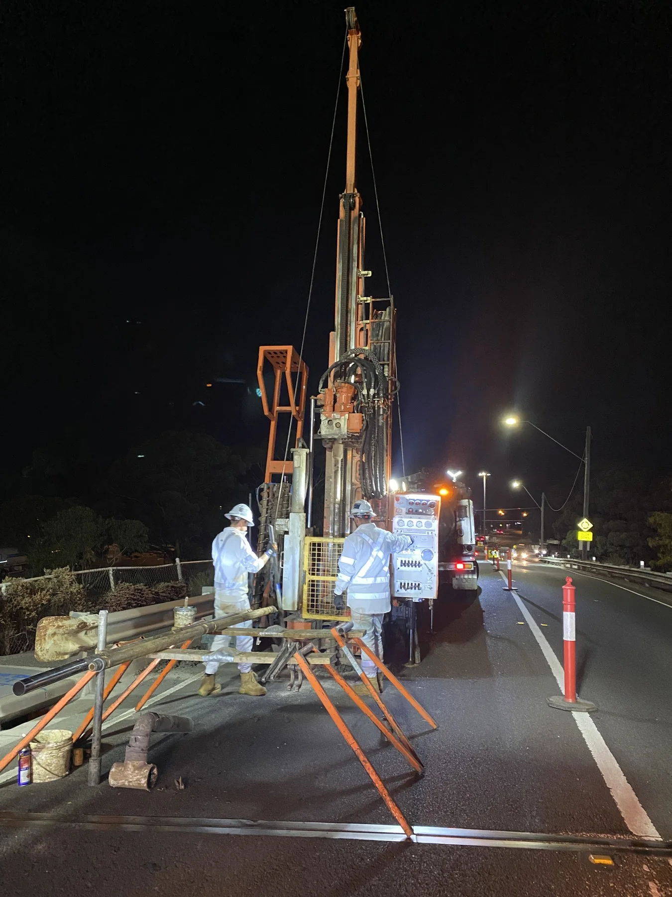
Collecting that evidence also meant working within an operating transport environment. Access, traffic arrangements and buried services had to be coordinated with BMD’s site controls, with drilling scheduled at night to minimise disruption to road users. The field programme needed to retain consistent logging and sampling practices across those constraints and through the transition into rock. Yarra’s commission was to supervise and document the investigation, bringing the observations and test results together in a factual report for BMD and its design team.
Our approach
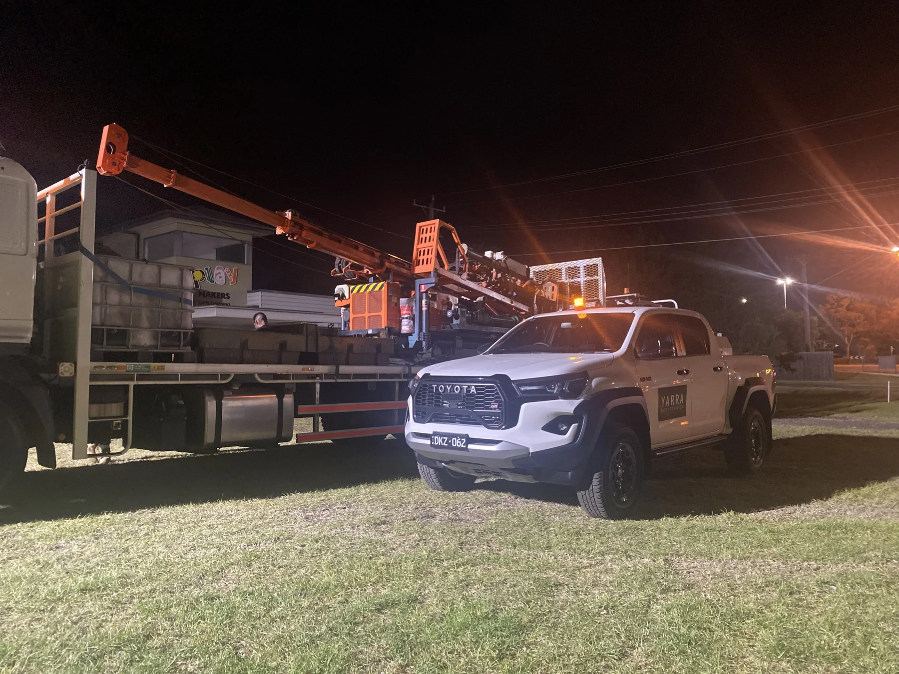
Yarra supervised the borehole and test-pit investigations within the road corridor, with borehole drilling undertaken at night. Augering and Standard Penetration Tests investigated the soils, while HQ diamond coring recovered basalt for detailed logging. U63 push-tube sampling recovered cohesive soils, with pocket penetrometer checks on the samples supporting assessment of consistency. Engineering logs and photographs recorded the soil and rock profiles. The work was coordinated with BMD’s permits, traffic management and services-locating arrangements, using QEST’s drilling equipment and crew.
The laboratory programme examined soil classification, strength, reactivity and chemical aggressivity. Compaction and California Bearing Ratio testing supplied pavement-related evidence, while testing of recovered rock helped characterise the basalt. We brought the field observations, in-situ results, sample photographs and laboratory certificates into a structured factual report. Logging conventions and test qualifications were retained with the evidence, giving the designers the information needed to understand how the ground record had been developed and where limitations applied.
The outcome
BMD and its designers received a factual geotechnical report documenting the investigation across the road-upgrade area. The report brought together borehole and test-pit logs, descriptions of soil and basalt, in-situ test results, recovered-sample photographs and laboratory certificates. These records made the observed changes in ground conditions available for the project’s subsequent engineering assessments, with the field information and testing presented in a consistent format that could be followed back to the investigation.
The laboratory evidence covered properties relevant to pavement subgrades, earthworks and the behaviour of soil and rock materials. Chemical testing also supplied information relevant to the durability assessment of materials in contact with the ground. The value of the commission was a traceable foundation of factual evidence for the design team’s decisions. Yarra’s report documented the work and its qualifications; pavement design, selection of construction treatments and the interpretation required for particular infrastructure elements remained with the appointed designers.
Explore more projects
ALL PROJECTS ↗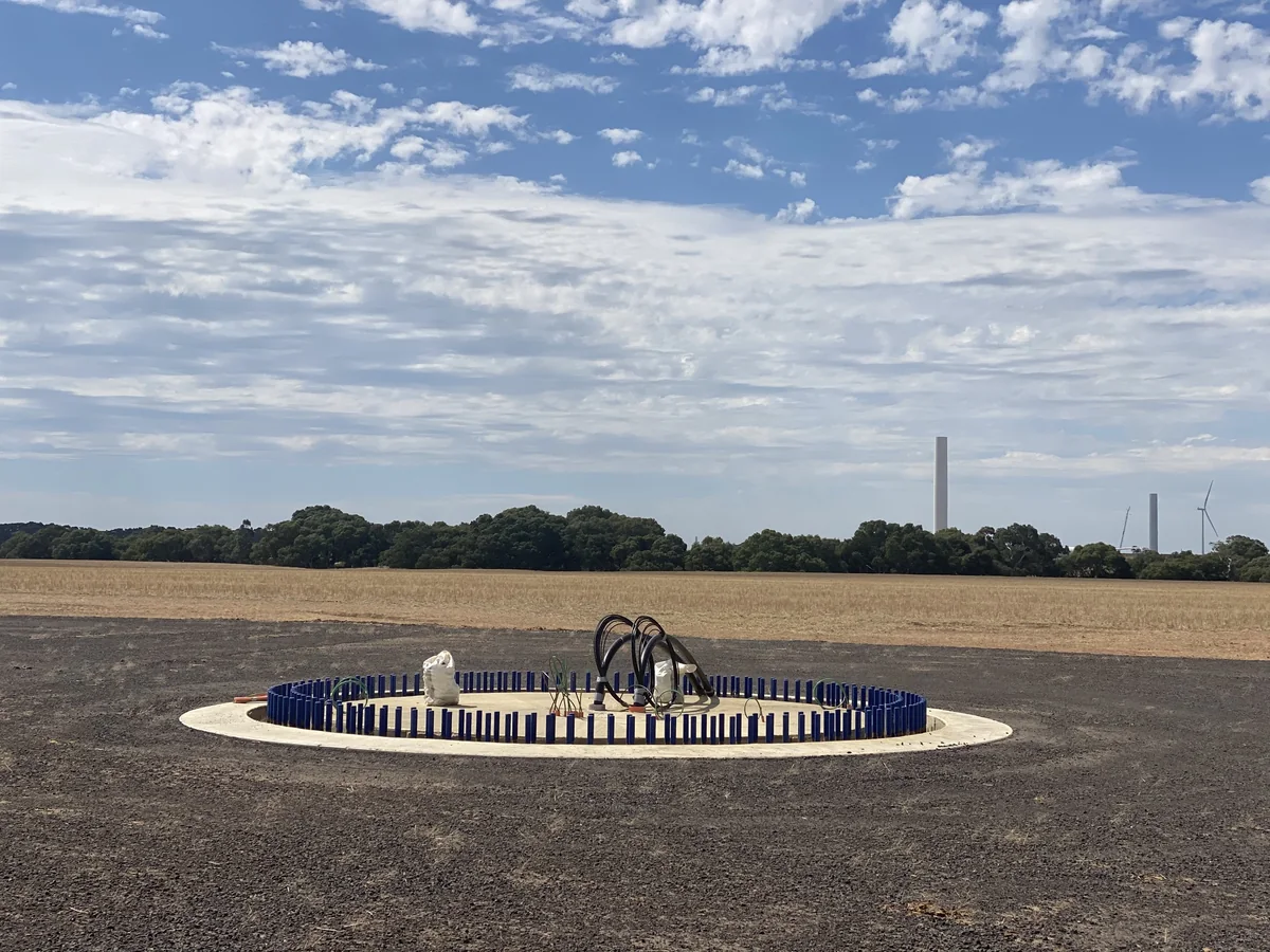
Golden Plains Wind Farm OHL
Supplementary soil and rock investigation and foundation advice at selected transmission pole locations associated with the Golden Plains Wind Farm.
Golden Plains, Victoria Project illustration
Lyndhurst Water Recycling Plant
Ground investigation and foundation advice for a compact water recycling facility, addressing ground movement, construction constraints and nearby infrastructure.
Lyndhurst, Victoria
Hazelwood Terminal Station
Geotechnical investigation, thermal testing and coordination of specialist electrical resistivity and environmental inputs for proposed terminal-station works.
Hazelwood North, Victoria